Public project view
A concise CDW project story built around real aerial imagery. Visitors move from the full collection to a single numbered site without seeing addresses or client-specific labels.
For prospective clients250+ acres mapped
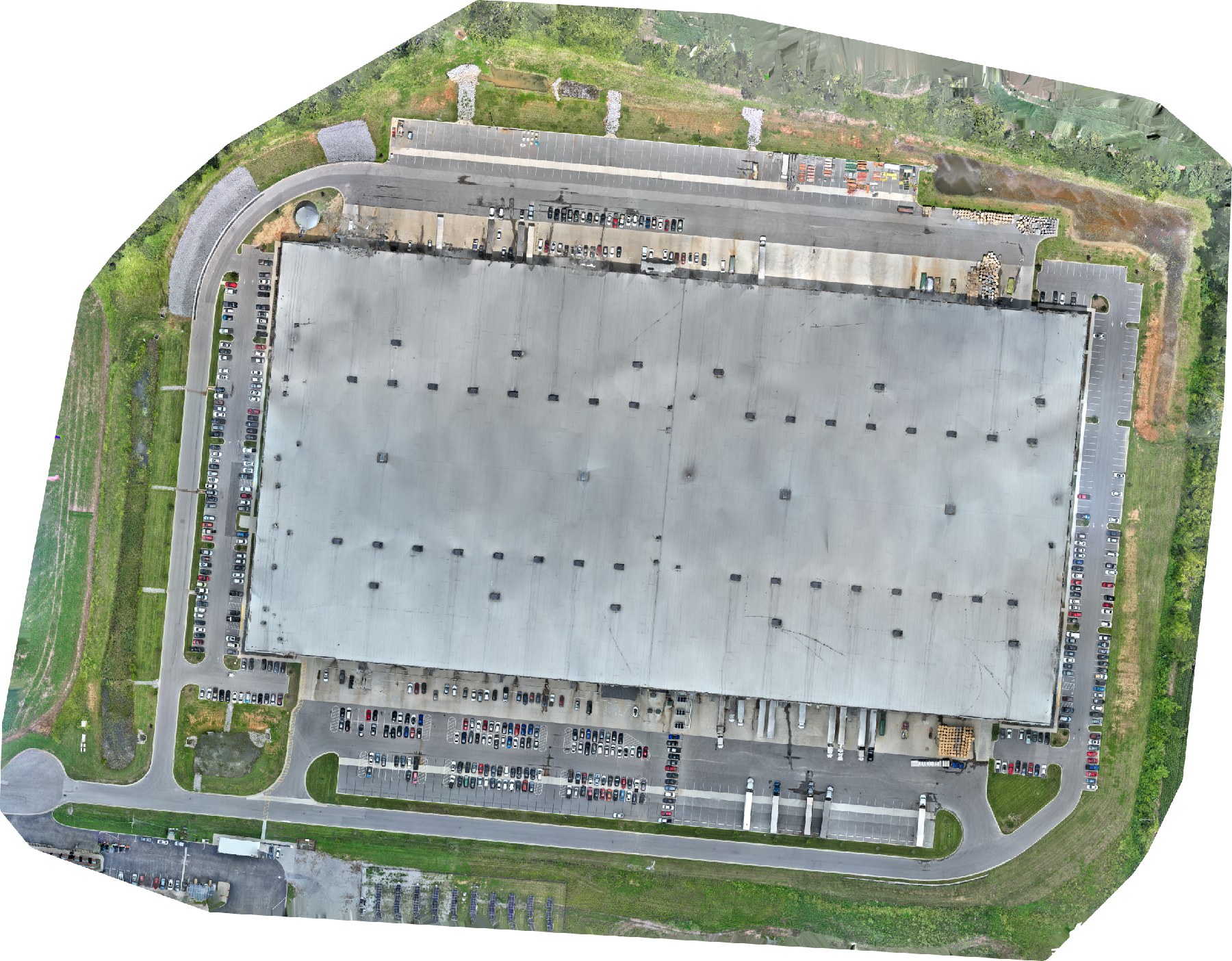
Eight industrial properties documented through consistent aerial imaging and high-resolution orthophotos.
Choose Site 01–08 to review the project figures and available views. The same simple layout is used throughout, making the eight locations easy to compare.
 Source frame
Detail view
REPRESENTATIVE SITE VIEW
Source frame
Detail view
REPRESENTATIVE SITE VIEWA concise CDW project story built around real aerial imagery. Visitors move from the full collection to a single numbered site without seeing addresses or client-specific labels.
For prospective clientsA mock client area showing how an authorized team could review orthophotos, project facts, and downloadable records.
Shown as a product previewEach site can be presented as a compact record that helps a team see what changed, what is there, and what deserves a closer look.
A clean, high-resolution overhead view for orientation, comparison, and review.
Crop views and callouts that bring attention to the areas that matter on a large site.
A consistent site-by-site structure that keeps a multi-property project easy to navigate.
CDW plans consistent aerial documentation across multiple properties and delivers the results in a form that is clear, organized, and useful.